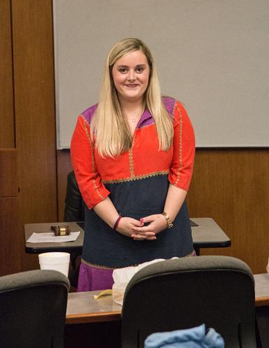
Tuesday night, after three hour Undergraduate Student Congress Executive elections, Student Government Association leaders came together to report on the status of SGA. Due to the late hour, reports were kept short and to the point.
Top Story
Student leaders give State of the SGA address
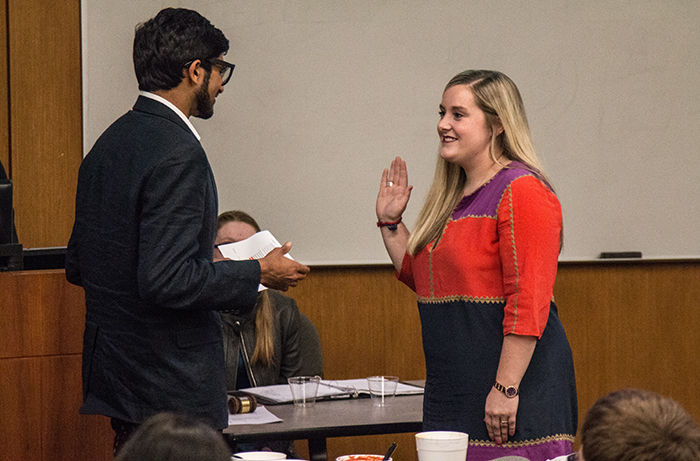

Incumbant CAC Chair Chloe Tadlock is sworn in by SGA President Kunal Naik during the State of the SGA on Tuesday April 21 at Devon Hall. Tadlock ran on the platform of creating a universal mobile application for all CAC events throughout the year.


