



Tornado watch issued for Norman, OU campus. Read more on oudaily.com.
The risk of tornadoes and severe weather threatens OU's campus overnight. Willie Gillespie has the timing and how to prepare. Read more at oudaily.com
10:03 p.m.
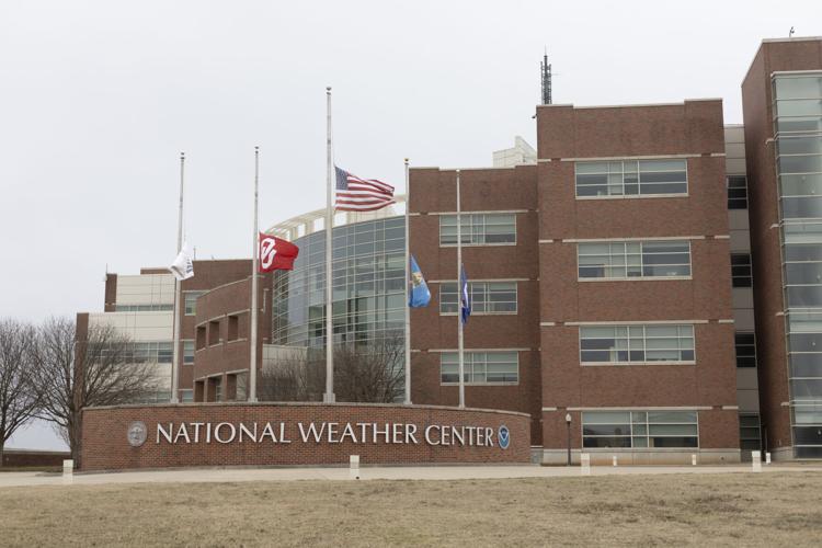
The National Weather has issued a Tornado Watch in effect until 5 a.m. Tuesday for Cleveland County.
Anticipated weather
The National Weather Service announced there is a chance of severe thunderstorms and tornadoes across Oklahoma Monday night and Tuesday morning.
Norman is currently at an enhanced risk of severe weather. High wind speeds with a risk of hail up to golf ball size and potential short-lived tornadoes are the primary concern, according to the National Weather Service.
The most severe part of the storm is set to hit Norman from 1 to 4 a.m.
A tornado watch means there is a possibility of a tornado forming in the area and a tornado warning means a tornado has formed in the area and it’s time to seek shelter, according to the National Weather Service. OU will send a RAVE alert if there is a tornado watch or warning on or near the Norman campus.
Phones should be charged and be able to work without Wi-Fi in the event of a power outage. For those who do not live on campus or attend OU, pay attention to weather updates and have a plan to take shelter if a tornado warning is issued.
All on-campus housing has shelter options in case of severe weather. The shelters are only available to students.
Norman does not have a public severe weather shelter. According to an email from Tiffany Vrska, Norman’s chief communications officer, Norman directs residents to the National Weather Center's safety tips for severe weather. Residents can also sign up for emergency alerts through the city of Norman.
This story was edited by Ana Barboza. Mary Ann Livingood copy edited this story.


